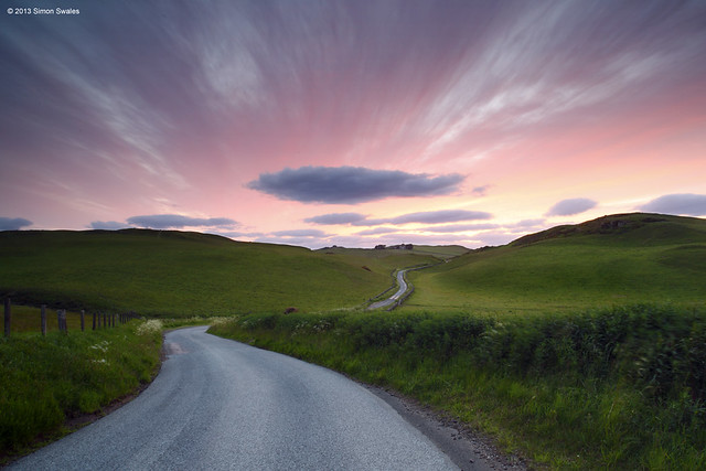
 I took a drive up into Glen Devon tonight to search out potential locations at both Upper and Lower Glendevon Reservoirs. There is parking at the roadside where the private road signed for Frandy Farm leaves the main A823 road through Glen Devon. Alternatively, drive 2km along the private road to Frandy Fishery (seasonal) and seek permission to park at the lodge. The track can be rough in places and livestock is allowed to roam freely. From the fishery I made my way to where the road ends at Upper Glendevon Reservoir. There wasn't really much potential here unless your forte is for concrete dams, walkways and overflow channels. It was all a bit bleak.
 Returning to Frandy I noticed the outflow tower on the other side of the lower reservoir so once I was below Frandy Farm I pulled over and went for a look. The evening was very warm, humid and quite still. Ideal conditions for the scourge of every landscape photographer in Scotland; the midge, or little b*stards as they are mostly known by. Once I reached the reservoir they descended on me, the camera, the lens and the filters. I was fighting a losing battle. At least I kept the fishermen amused with my constant blowing across the filters to stop the buggers from landing and waving my arms about like a mad man with a hood up and hat on. The conditions were far from ideal too with the sun due to set too far to the north west for this location in July. The outlet tower makes a good subject though with some interesting stone architecture and ironwork, although the final section of the bridge to the tower is out of bounds due to gates and locks, etc. I will return in the autumn when the sun has moved around and the midges are no more.
A satellite map of Glen Devon and Glen Eagles is below. Auchterarder is the nearest town, 5 miles to the north, and has B&B's, pubs, cafes, banks and shops. For those burdened with heavy bags of money, fear not because The Gleneagles Hotel is there to help you lighten the load.


