The Hermitage is a National Trust for Scotland woodland situated on the banks of the River Braan along a section called the Falls of Braan where the river tumbles in a series of cataracts before its confluence with the River Tay. It forms part of the larger Craigvinean Forest which is itself part of the Tay Forest Park. Click on the following link to download the comprehensive TFP Guide.

 The footpaths around The Hermitage are linked to the trails of the Dunkeld & Birnam walks network, 36 miles of waymarked walking routes over a variety of terrain from flat paths to steep hillsides. The Hermitage is right in the middle of this network. It is signposted off the A9 where there is a large Pay and Display car park (free to NT & NTS members). The path from the car park is wide and flat and suitable for wheelchair users which takes you, in little over 3/4 mile / 1 km, to The Hermitage. Alternatively, two other FREE car parks can be used: Inver Brae Car Park to the south of Inver, just over the railway bridge, and there is also a small car park at Rumbling Bridge on the A822. All car parks have large Information Boards to direct you to The Hermitage along the path network.
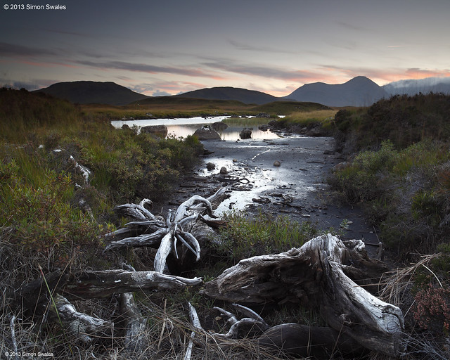
In the autumn The Hermitage is a landscape photographers paradise when the yellows, oranges and reds of the deciduous trees contrast with the dark
greens of the coniferous trees. The Black Linn Falls at The Hermitage are spanned by a single arch stone bridge which makes a great viewing platform for the falls and also makes a fine composition itself from the banks of the river. Note: since 2011 the bridge does not provide access to the far side of the river as erosion has closed the path leading onto the bridge from that side.

From 11 am - 5 pm at weekends and in school holidays (not winter) the Big Tree Cafe in the main Hermitage car park serves home made soup, home baking, local dairy ice cream, tea, coffee, hot chocolate and cold drinks.
Alternatively, Dunkeld and Birnam cater extremely well for tourists and day-trippers with hotels, B&B's, pubs and cafes as well as a Co-Op supermarket (in Dunkeld).
Satellite map of The Hermitage and Dunkeld area below.
Alternatively, Dunkeld and Birnam cater extremely well for tourists and day-trippers with hotels, B&B's, pubs and cafes as well as a Co-Op supermarket (in Dunkeld).
Satellite map of The Hermitage and Dunkeld area below.